


Global Vision Professional ApeksGnss ApekSurv Software Permanent License Code
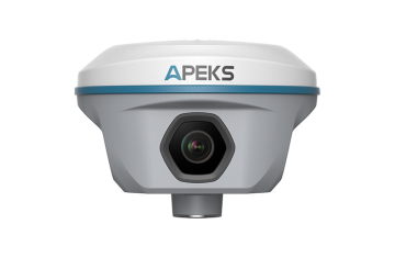
Visual AR Stakeout
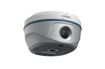
Through WiFi transmission, Apeksurv can transmit large amounts of image and video data in real time, and cooperate with visual RTK to achieve clear, intuitive and accurate visual AR layout functions.
Laser Surveying
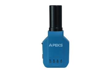
Combined with laser-enabled RTK, the Apeksurv software enables seamless switching between laser surveying and pole surveying.
CAD Sketching & Stakeout
Detailed CAD sketching function, including line, polygon, spline, circle and etc. Each layer is editable. Support easy stakeout based on your CAD map.
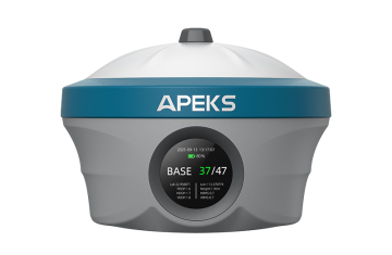
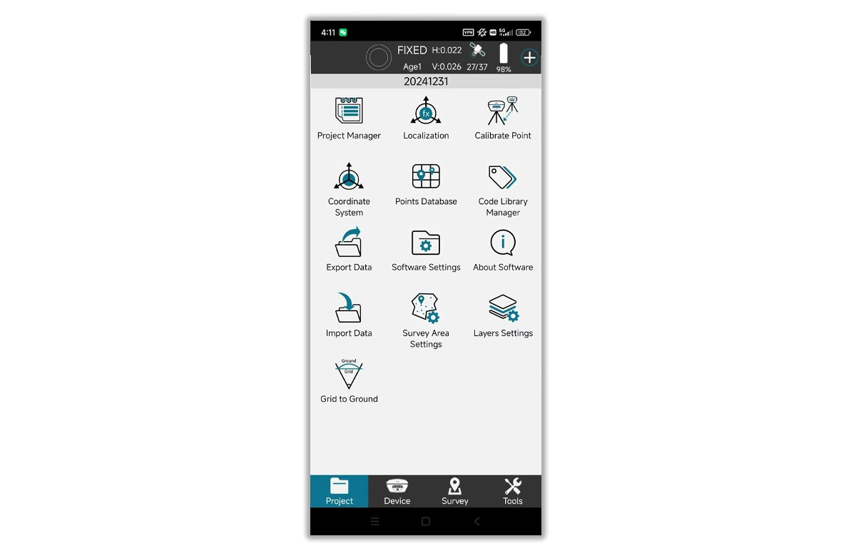
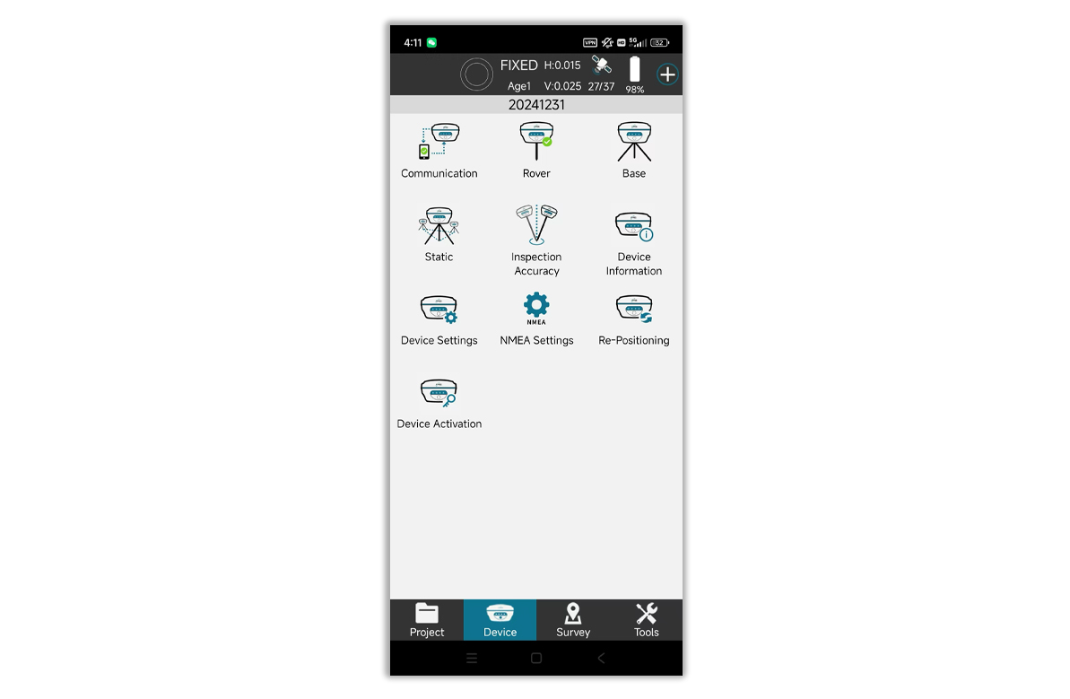
Custom Survey Interface
Users can customize the information display content and measurement function menu according to their working scenarios to meet their own usage habits and needs.
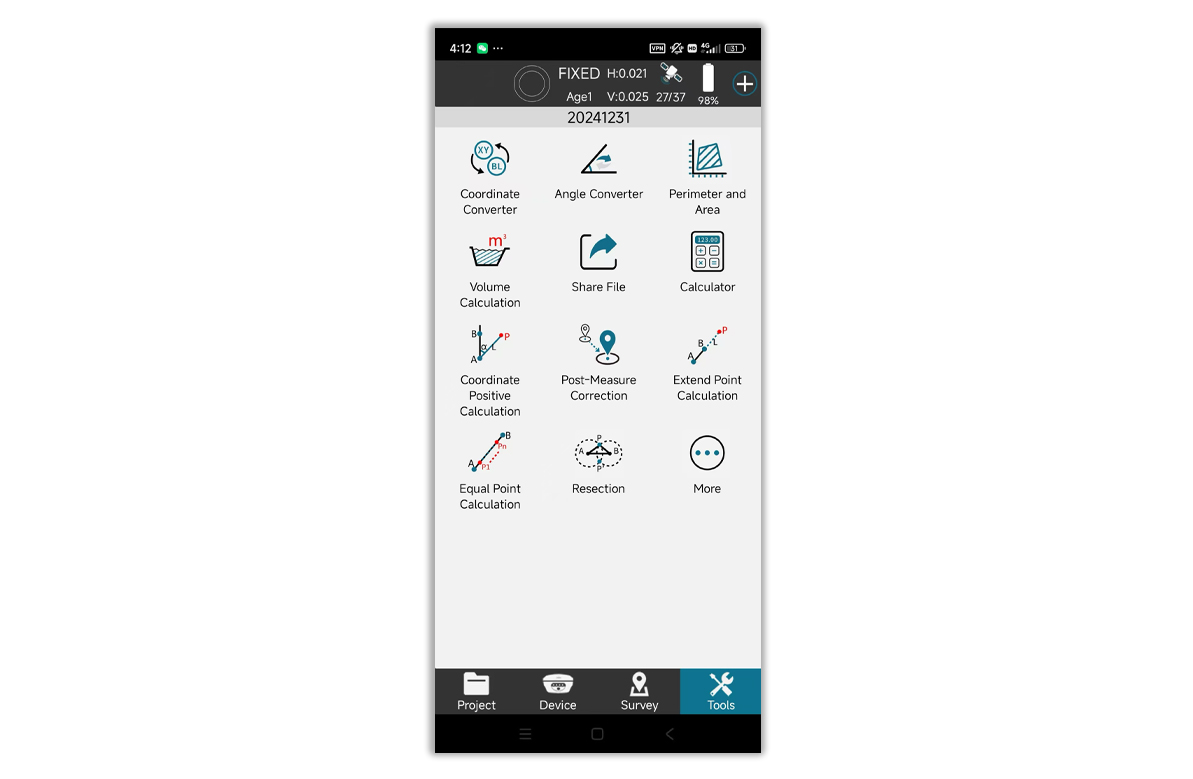
File Sharing
All types of data in the project can be easily shared by scanning QR code or entering the sharing code, which is convenient for the transmission of various data between data collectors & surveyors.